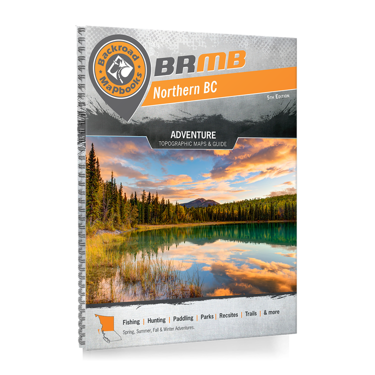
Backroad Mapbook Northern BC
Northern BC is a vast area, covering more land than the entire country of Sweden. In the west, the port city of Prince Rupert sits nestled among the majestic coast mountains, acting as a gateway to the Pacific Ocean and the incredible islands of Haida Gwaii. To the east, the Rocky Mountains cast their imposing shadow over the land, attracting hikers, mountaineers and ski tourers from far and wide. As you move north towards the Yukon border, the human population becomes sparser and nature rules the land. In between, places like Spatsizi Wilderness Provincial Park contain some of the most breathtaking landscapes in the country. Whether you are looking to fish, camp, ATV, snowmobile, view wildlife or just take in the sights along the region’s many roads, Northern BC offers an abundance of adventure.
To help you navigate this sprawling area more easily, the latest edition of the Northern BC Backroad Mapbook contains numerous updates and expansions. In addition to expanded road coverage, we have updated our motorized and multi-use trails, added fish species to many lakes and rivers and included a ton of new Points of Interest. We have also included private land areas, new inset maps of the McBride area and expanded our Adventures listings with additions to each section, plus a brand new Backcountry Huts section and Fish Stocking and Trails Charts. Additionally, this book now contains detailed Community Profiles.
Topographic Maps
To help you navigate this sprawling area more easily, the latest edition of our Northern BC Backroad Mapbook contains numerous updates and expansions. In addition to expanded road coverage, we have updated our motorized and multi-use trails, added fish species to many lakes and rivers and included a ton of new Points of Interest. We have also included private land areas, new inset maps of the McBride area and expanded our Adventures listings with additions to each section, plus a brand new Backcountry Huts section and Fish Stocking and Trails Charts. Additionally, this book now contains detailed Community Profiles.
Service Directory
In addition to our maps, we list Northern BC accommodations, services, tours, and amenities, including information on the top outfitters in Prince George, Fort St. John, Haida Gwaii, Dawson Creek, Prince Rupert and the surrounding regions. We also list where to find hunting rifles and sportfishing equipment for sale in the area.
Index
In your Northern BC Backroad Mapbook you will find an easy-to-use Index divided into Adventure and Map sections. Each activity or geographic location has page and map numbers and we also include important contact information, distance charts and an advertiser list for easy referencing..
Community Profiles
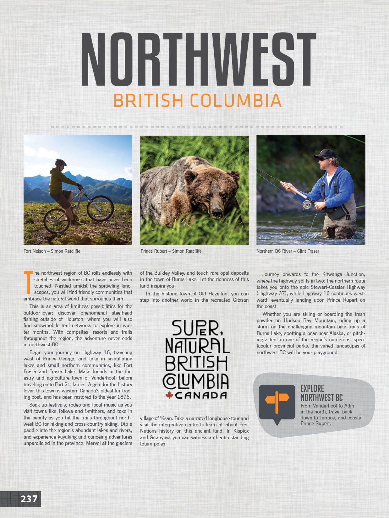
Your northern BC Backroad Mapbook contains detailed written profiles on the region’s major communities, including information on the best things to see and do in and around Prince George, Mackenzie, Chetwynd, Tumbler Ridge, Dawson Creek, Pouce Coupe, Hudson’s Hope, Fort St. John, Vanderhoof , Fort St. James, Fraser Lake, Burns Lake, Cranisle, Houston, Telkwa, Smithers, Terrace, The Hazeltons, Kitimat and many others. New to this edition, we have added community profiles for McBride and Prince Rupert, as well as expanded the profiles for Prince George and Dawson Creek.


